There are small signs you look for when you study the map.
Tight zig-zags foreshadow steep switchbacks through tall mountains. A straight line suggests a ride through flat prairie or wide desert.
What you can’t know from looking at a map – or even at satellite imagery – is the condition of the road that goes through that country.
You can’t know the shortcuts the builders made in clearing that road or the long rainy months of disrepair.
For both these reasons, the road through the Nicaraguan hill country caught us entirely by surprise.
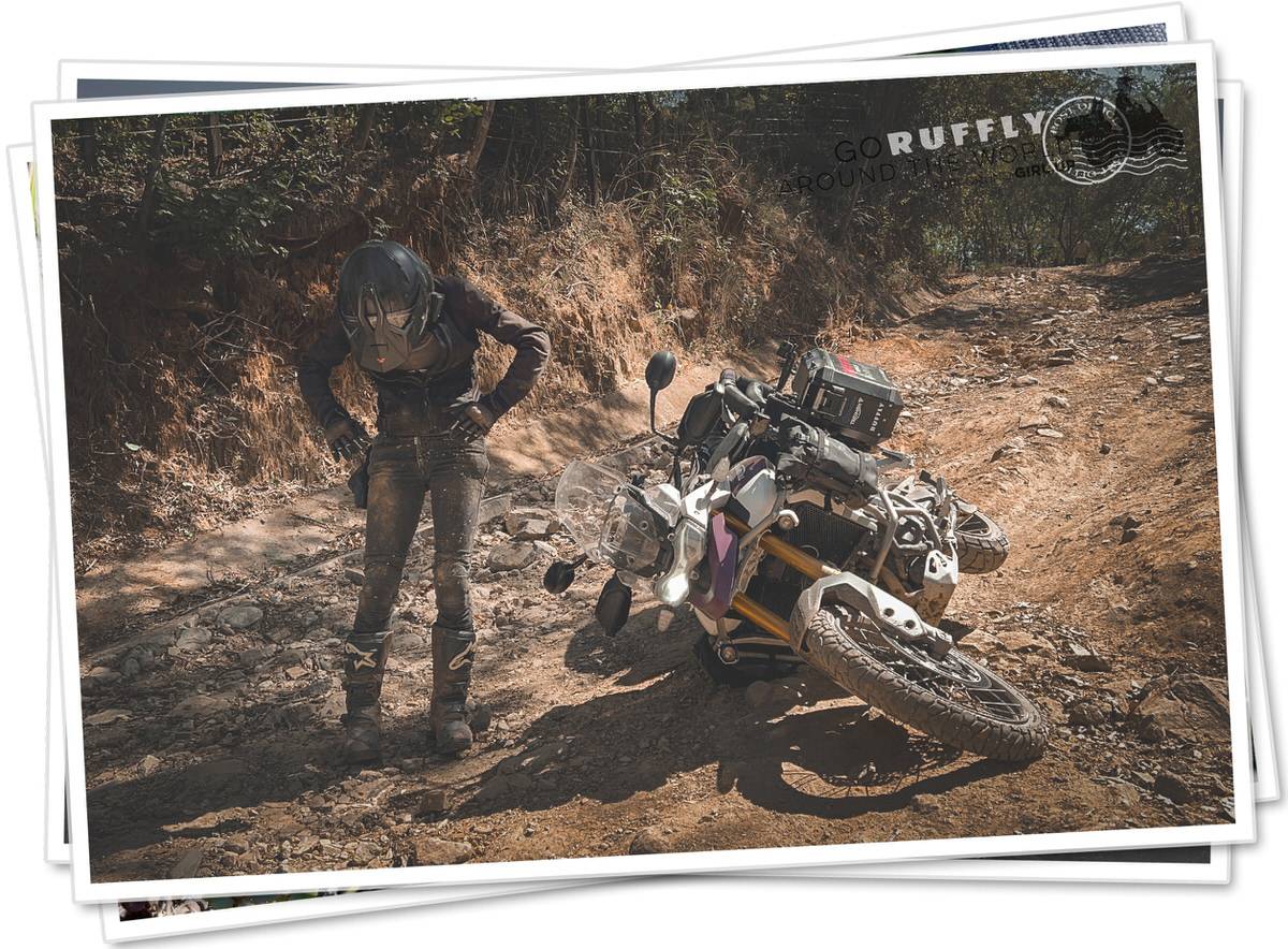
It never turned too suddenly nor corkscrewed blindly, it never barreled or plunged, never climbed too hard.
It was never too much of anything, but somehow it was just hard-scrabble and brutal. The most difficult road we’ve traveled so far.
It tore like a claw scratch through the hills and nowhere was it gentle or relenting.
My first crash came late in the afternoon. Soon afterwards we camped under the half-built shack on a local homesteader’s plot.
“Walk up the hillside and you’ll find there’s cell signal,” he said pointing in one direction and then shifted to point in the other.
“Walk a kilometer down that trail and you’ll come to the river.”
We hiked up the hillside and found a chair beneath a tree where my phone suddenly came to life.
I called my parents and wished them a Merry Christmas.
Then, we trudged down the forest trail to a wide river valley.
“The map deceived us about this road,” Greg said as we bathed among the breeze and the birds.
“Yes,” I agreed, “to bring us right where we’re supposed to be.”